
🔹 Nullarbor Plain Geological Context
The Nullarbor Plain spans over 200,000 square kilometers across southern Australia as one of the world's largest limestone regions, formed when an ancient shallow sea retreated approximately 14 million years ago.
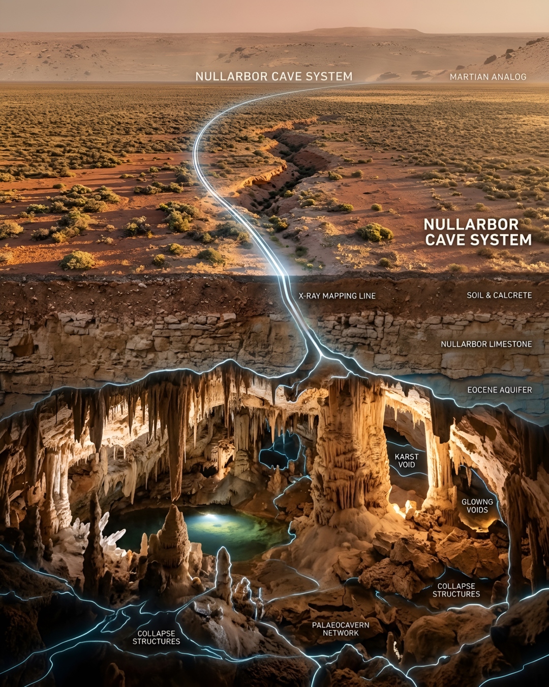
Researchers from Curtin University published a study in September 2026 revealing how shallow surface trenches on Australia's Nullarbor Plain indicate deeply buried limestone cave systems slowly collapsing upward over millions of years. The authors utilized high-resolution digital landscape models, drone photography, borehole measurements, and specialized geophysical X-ray-like techniques to demonstrate that these imperceptible north-south surface depressions directly align with subsurface voids and broken rock zones. This geological finding transforms how scientists interpret global karst landscapes, emphasizing that surface features often require looking deep underground to understand processes like upward rock collapse and groundwater vulnerability. Beyond protecting vital subterranean water reserves and engineering infrastructure on Earth, these dry limestone analog landscapes provide critical methodologies for identifying hidden caves on Mars and other planetary bodies to shelter future explorers from space radiation.
Log in op Neumap AI en begin met het maken van uw eigen mindmaps!
Aan de Slag