The Worst Fires in Indonesia May Be the Ones You Can’t See

Indonesia Wildfires PeatlandFires ElNino ClimateChange NASA

Summary

Mind Map Cover Image
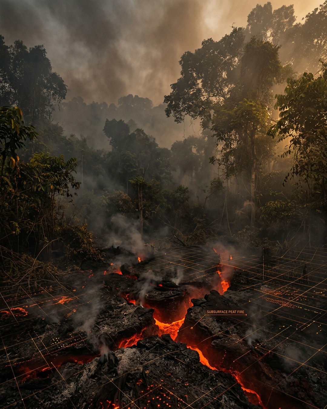
AI Generated Cover Image

Indonesia is facing a severe fire season driven by intense drought and a strengthening El Nino, with fires capable of smoldering underground in peatlands for months. These underground peat fires are exceptionally difficult to extinguish and release massive amounts of greenhouse gases and hazardous particulate pollution that severely degrade regional air quality. Experts warn that the current trajectory mimics the devastating 2015 fire season, threatening widespread disruptions to daily life, public health, and air travel. Satellites often fail to detect these hidden subsurface and canopy-covered fires, highlighting the urgent need for advanced monitoring tools and sustained prevention efforts beyond immediate crisis periods. The situation underscores how historical land-use changes, such as wetland drainage in the 1990s, have amplified the flammability of tropical peatlands. Researchers and agencies are actively testing new shortwave infrared detection techniques to better track these invisible hazards beneath dense vegetation and smoke. Authorities and researchers emphasize that maintaining long-term focus and robust prevention infrastructure is essential to mitigate catastrophic emissions and public health crises in future dry seasons.

Key Points

01

🔹 Underground Peat Fires and Emissions

Tropical peatland fires dry out carbon-rich soils and smolder slowly at low temperatures beneath the surface, making them extremely difficult to extinguish. According to estimates, these peat fires release three times more fine particulate matter than other tropical forest fires, along with five times more sulfur dioxide, three times more organic carbon, and twice as much methane and carbon monoxide.

02

🔸 El Nino and Drought Drivers

Severe drought and a strengthening El Nino, combined with a positive Indian Ocean Dipole, have suppressed rainfall and intensified the dry season in Indonesia. By early August, about 90 percent of Indonesia received little to no rain, lowering the water table and exposing dry peat deposits in Kalimantan, Sumatra, and Papua to extensive burning.

03

⭐ Satellite Monitoring Limitations

Indonesia relies on instruments like MODIS and VIIRS to track fires, recording 946 hotspots on August 31, 2026. However, thick clouds, dense smoke, forest vegetation, and underground burning obscure these sensors, paradoxically causing satellites to report fewer visible fires during the worst smoke events.

04

📊 Historical Context and 2015 Comparison

The current 2026 fire season is tracking sharply upward similar to the destructive 2015 season. After burning for over three months in 2015, Indonesian fires released 1.75 billion tons of greenhouse gas equivalents, exceeding Japan's annual emissions. By September 2, 2026, fires had already burned for a month and released about 10 percent of that 2015 total.

05

💡 Mitigation and Advanced Detection Efforts

Decades of wetland drainage from 1990s rice farming irrigation canals exacerbated peatland flammability. Post-2015 mitigation measures include damming drainage canals, strengthening firefighting capacity, and developing advanced algorithms using shortwave infrared observations from Landsat and Sentinel-2 satellites to detect fires beneath forest canopies.

Want to create your own mindmap?

Login to Neumap AI and start creating your own mindmaps!

Get Started